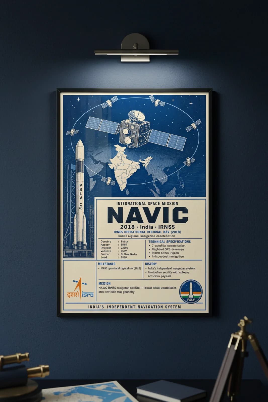
Rank 37 documents NAVIC — the Indian Regional Navigation Satellite System branded operationally as NAVIC, giving India an independent positioning constellation covering the subcontinent and Indian Ocean region without reliance on American GPS, Russian GLONASS, or Chinese BeiDou for critical services. The seven-satellite IRNSS architecture reached operational status in 2018 after successive PSLV launches from Sriharikota, placing atomic-clock payloads and ranging antennas in inclined geosynchronous orbits tuned for regional accuracy. Military, maritime, disaster response, and civilian smartphone applications gained a sovereign navigation layer — a strategic milestone for a nation whose economy depends on precise timing and location across vast coastlines and Himalayan terrain. Wallimilist renders the symmetric navigation bus, thin-ring constellation arc over India map geometry, PSLV pad inset, cream archive with NAVIC slab title, IRNSS OPERATIONAL REGIONAL NAV kicker, and INDIA'S INDEPENDENT NAVIGATION SYSTEM footer exactly as the master PNG dictates — ISRO and IRNSS emblems, specimen data bands, and curator copy on Indian navigation heritage.