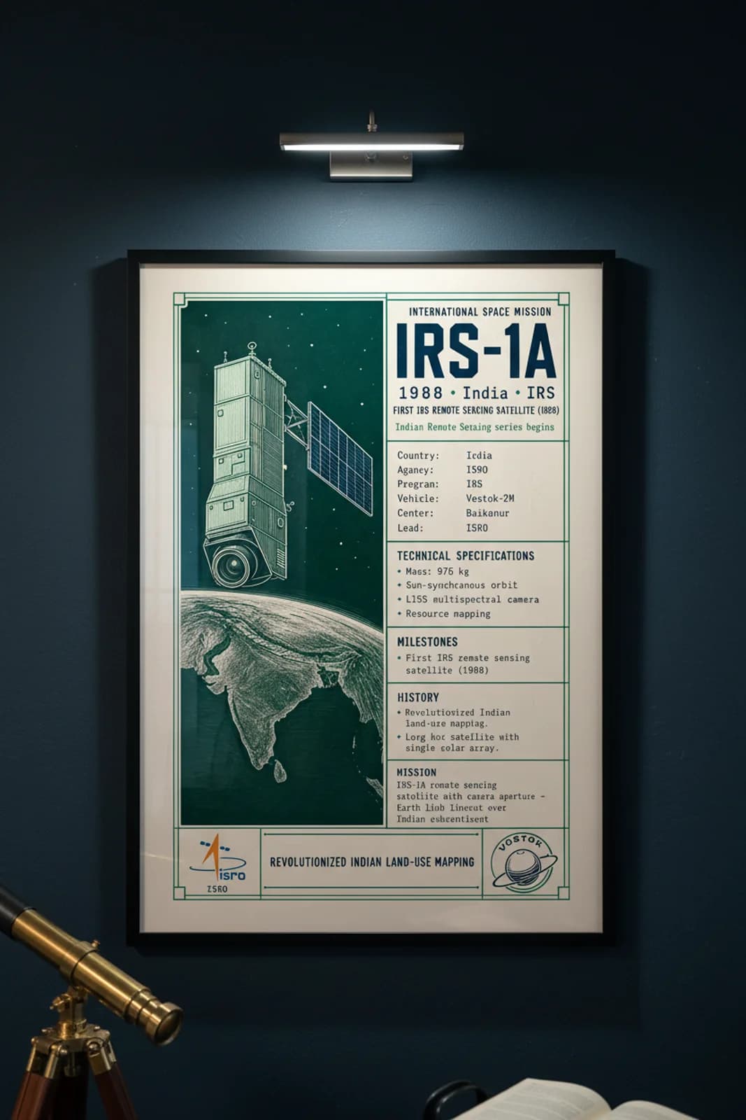
Rank 28 documents IRS-1A — the spacecraft that opened India's Indian Remote Sensing programme and revolutionized land-use mapping, agriculture monitoring, and disaster assessment from orbit. Launched 17 March 1988 aboard Vostok-2M from Baikonur, the 975-kilogramne long box bus with LISS multispectral camera entered sun-synchronous orbit to deliver resource-mapping imagery that Bhaskara's experimental sensors had only hinted at. IRS-1A established the operational template for decades of IRS and Resourcesat successors — a single solar array, prominent camera aperture, and data products that planners, foresters, and hydrologists relied upon for national development programmes. Wallimilist renders the profile-monument bus hero, camera aperture focal point, Earth limb with Indian subcontinent, emerald-green star field, cream ledger-frame register with IRS-1A slab title, FIRST IRS REMOTE SENSING SATELLITE kicker, and REVOLUTIONIZED INDIAN LAND-USE MAPPING footer exactly as the master PNG dictates — ISRO and Vostok emblems, specimen data bands, and curator copy on Earth observation heritage.